Baker Baynes’ Senior BIM Technical Specialist for Civil Infrastructure & Mining recently presented at the notorious annual IMESA conference (2-4 November 2022). Shuaib was amongst highly respected speakers covering subject matters from ‘The opportunity for Independent Water Production in South Africa’ by Rajiv Paladh, ‘Quantitative flood risk assessments for 3 townships in Johannesburg using high-resolution modeling’ by Tjeerd Driessen, to ‘Building Urban Water Resilience for African Cities’ by Amanda Gcanga & James Cullis. The conference focused on a variety of challenges affecting municipal engineering, such as finance, energy, water, sanitation, flooding, and roads & stormwater
Shuaib’s topic zoomed in on BIM Technologies for Intelligent Road Stormwater Design. This topic was introduced firstly by looking at the old way of working and the progression of ‘Connected BIM for Civil Infrastructure.’
What is Connected BIM you ask?
Connected BIM is the intelligent process incorporated in design using the power of the cloud. It enables the designer to create and use a data-rich 3D model that is accurate, accessible, and actionable across the project lifecycle. This improves understanding and decision-making, allowing project stakeholders to share and use the same consistent data from project inception to operations and maintenance, promoting efficiency, economy, sustainability, intelligence, and innovation.
How BIM Ready are you?
The BIM for Civil Infrastructure ecosystem provides a plethora of functionality and advantages across a project lifecycle, such as the incorporation and integration of Geospatial data – GIS, terrain data, machine control, clash detection/co-ordination, construction simulation (4D-5D), visualisation, documentation, quantification, multidisciplinary coordination, Drone to Design, and cloud computing and collaboration.
The topic of BIM then drilled down to the core subject of discussion – BIM for Intelligent Road Stormwater Design.
Shuaib highlighted the challenges of traditional design methods namely:
- With Google Earth most commonly used, the data is static, meaning when changes occur, data needs to be manually updated or recorded again.
- The catchments & flow paths drawn on Google Earth are subjective to the interpretation of the designer.
- The catchments & flow paths then need to be redrawn in a CAD platform, creating rework due to a data silo effect.
- Data disconnect across multiple platforms.
He then went on to show how Road Stormwater Can be Tackled Using BIM. The pearls of BIM in a Road and Stormwater context include:
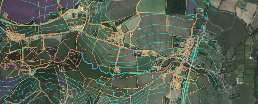
CATCHMENT DERIVATION: Automated Computation to Derive Catchments

MODELING OF ROAD STORMWATER NETWORK: Integrating Local Catalogues Popularly Used in South Africa & Regrading of Part or Entire Stormwater Network


ROAD STORMWATER NETWORK Analysis

ROAD STORMWATER NETWORK QUANTIFICATION: Pipe Quantities & Excavations as per SABS 1200

These are just some of the highlights of what is possible with BIM in Road and Stormwater design, least of all for Civil Infrastructure.
Shuaib profoundly rounded up this session by saying: “Technical ingenuity & technology form the perfect symbiosis for intelligent, resilient, and sustainable infrastructure. We as professionals must use technology as an enabler today, to engineer a better tomorrow”


0 Comments