This webinar was held on Friday 31 August 2018, and was hosted by Shuaib Yunos
Overview
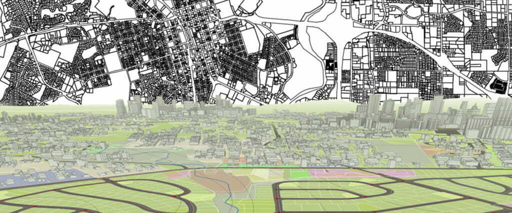
On Friday 31st August 2018, we hosted a webinar which looked at capturing asset GIS Information by generating Object Data Tables using Autodesk AutoCAD Map 3D. Autodesk Infraworks is a CAD & GIS based design software used by professionals across multiple disciplines such as GIS, mapping and Urban Planning. This webinar focused on simply generating an object data table and attaching it to the CAD objects.
Learning objectives of the webinar:
• Generate CAD objects, in this case water pipes in 2D
• Define an Object Data Table
• Customise GIS/Metadata fields for infrastructure capture
• Attach Metadata to CAD Objects
Map 3D – What is it?
For those who had not heard of Map 3D or who did but did not know exactly what it entailed, we explained what Map 3D is and its relevance in design Industry.
One AutoCAD & Functionality Overview
Once we understood what Map 3D was, we then looked at its position in the new AutoCAD offering being specialised toolsets, as well as a glanced overview of some of the key functionalities.
Generating an Object Data Table
Once the above was established we dived directly into the software, where we showcased generating CAD objects, in this case a water pipe line, and there after attaching defined metadata to it, displaying the power of GIS & CAD combined.
Meet the Speaker
Shuaib Yunos
Meet Shuaib, your go-to-guy for anything technology and services related to this industry.
In addition to being at the technological heartbeat of the design process, he is a Civil Engineering Design Technician and is affiliated with ECSA, SAICE, as well as SAID. His civil engineering consultancy background ranges in the fields of Roads & Stormwater, Civil & Structural, as well as Water Engineering, the bulk of his design experience being in Road design.


0 Comments